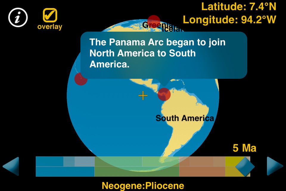
The pangaea app dynamically shows the breakup of the supercontinent Pangaea and the positions of the continents over the last 200 million years on a 3D globe. Significant events are indicated on the globe at the time of the event (millions of years ago). Tapping an event provides information about that event, certain events have an illustration with additional information.
Latitude and longitude (of the center of the display), time in Ma (millions of years ago), and geologic time period and epoch are continuously displayed. Drag the slider to move through time. Tap the arrow buttons at the ends of the slider to move one step at a time. Tap the background of the slider to jump to a time. Drag the globe left and right or up and down to rotate it. Pinch the globe to enlarge it.
Illustrated by Dennis Tasa. The modern shapes of the continents are retained throughout time to help identify them.
Correlates with the Next Generation Science Standards for Earth Science:
ESS1.C: The History of Planet Earth
ESS2.B: Plate Tectonics and Large-Scale System Interactions


